¿QUIENES SOMOS?
PORTAFOLIO
SELECCIÓN TRABAJOS
EXPERIENCIA
SERVICIOS
EXPERIENCIA
CONTACTANOS
CÓMO HACER UN KMZ
Category:
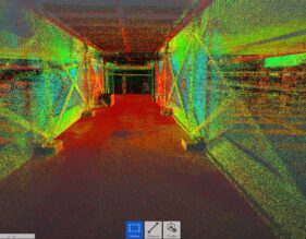
Aerofotogrametría
Nature’s Farm
Aerofotogrametría, Escaner 3D, Estudios, Levantamientos con GPS, Levantamientos Topográficos
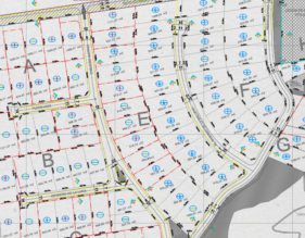
Eje Dorsal
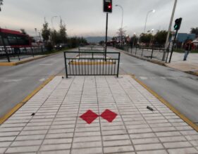
Aerofotogrametría, Levantamientos con GPS, Levantamientos Topográficos, Servicios
Molino Cunaco
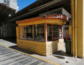
Aerofotogrametría, Estudios, Levantamientos Topográficos
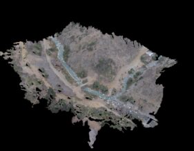
Raúl Marín Balmaceda
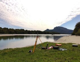
Aerofotogrametría, Levantamientos con GPS, Levantamientos Topográficos
Algarrobo – El Yeco
Aerofotogrametría, Levantamientos con GPS
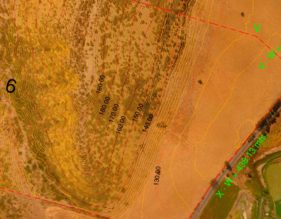
Puangue
Aerofotogrametría
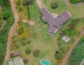
Olmué – Parcela
Aerofotogrametría, Levantamientos con GPS, Levantamientos Topográficos
Autopista Central
Aerofotogrametría, Levantamientos con GPS
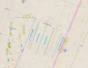
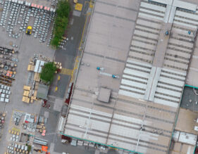
Bodegas CAM G y M – Quilicura
Aerofotogrametría
La Ermita
Aerofotogrametría, Levantamientos Topográficos